Surveying & Mapping Technicians
Measures and maps land boundaries, elevations, and features using GPS, laser, and drone equipment, supporting construction, land development, and legal property surveys.
Salary
- Entry-level
- $37,500
- Mid-career
- $54,000
- Senior
- $81,500
Source: BLS OEWS, May 2025
Job outlook
- Growth, 2025–35
- +6%
- Faster than average
- Openings each year
- 6,900
- New jobs plus people retiring or moving on
- Jobs in 2025
- 58,800
- +3,400 by 2035
Source: BLS Employment Projections, 2025–35. Growth for all jobs is +3.5%. See the BLS profile
A day on the job
What people in this job typically spend their time doing.
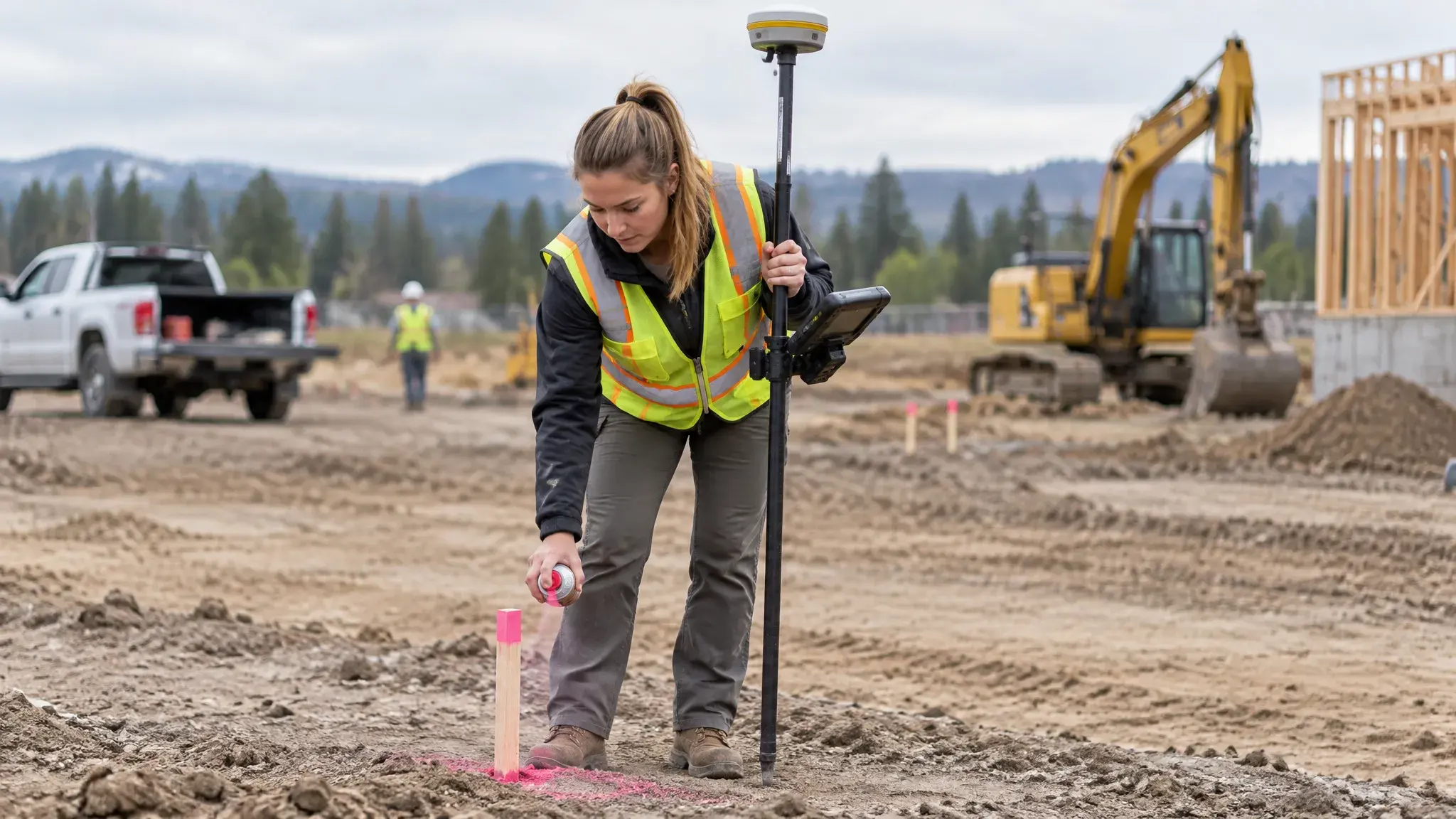
- Set up GPS and other surveying instruments in the field
- Find property corners and place stakes or markers
- Record measurements and details in field notes and sketches
- Enter survey data into mapping software to make maps
- Check maps and calculations for errors and fix them
- Use drones to capture aerial images for detailed maps
Adapted from O*NET OnLine (17-3031.00), U.S. Department of Labor, used under the CC BY 4.0 license.
Getting in
Most surveying and mapping technicians train on the job under a licensed surveyor or complete a short certificate program rather than a four-year degree.
Progression
- Survey Rodman or Crew Member
- Survey Technician or Instrument Operator
- Party Chief (crew leader)
- Licensed Surveyor (with education and experience) or Survey Manager
Where this can lead


Top Employers
- Engineering and surveying firms Survey land for construction, subdivisions, and property disputes.
- State transportation departments and local governments Survey roads, bridges, and public land.
- Utilities and energy companies Map pipelines, power lines, and rights-of-way.
Networking & job search

- Survey firms hire crew members with little experience, so apply directly and show you can work outside in all weather.
- The National Society of Professional Surveyors and state surveying societies offer technician certification and connect you with firms.
- Learn drone mapping and CAD software; technicians who can process data in the office as well as collect it in the field move up faster.
Example trajectories
High school diploma → rodman on a survey crew → instrument operator → party chief → licensed surveyor after earning a degree part-time.
GIS certificate → mapping technician at a county → drone survey specialist for an engineering firm.